We live in a complicated time...
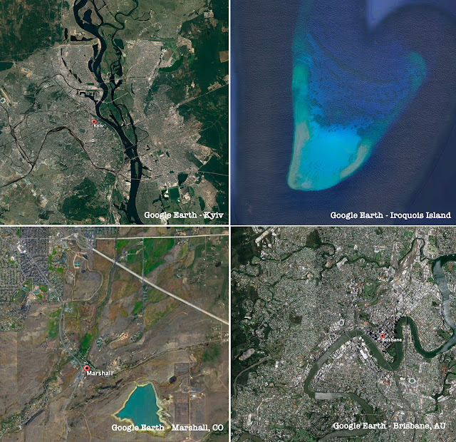
... with all kinds of conflicts, disasters, and changes in the landscape of our world. There's a conflict in Ukraine, recent fires in Colorado, massive flooding in eastern Australia, and conflicts over fishing and islands in the South China Sea.
As we've seen many times before, having good aerial or satellite images can be key to understanding what's really going on. Do the news stories align with ground truth? How can you know?
And yet, a huge problem is getting your hands on current images--or at least accurately time-stamped images from the not-too-distant past in order to make sense of what's going on. Getting real-time imagery would be great, but often that's outside the budget of many non-professional searchers.
So today's Challenge is a kind of collective ask for all people who do SearchResearch:
1. What are the best resources to get time-stamped satellite images? How can an ordinary SearchResearcher get their hands on satellite images not very long after (or even during!) a major event?
And, when you give us your answer, be sure to include any little times you have about using your favorite up-to-date image source. (I've found that sometimes they can be finicky to use. Most often, the problem is in selecting the details of the kind of image you want: want cloud cover (or not)? want multi-spectral images (if so which ones)? what resolution would you prefer? etc. Give us your pro tips on using these sources!
I'll collect all of the comments and include my favorite resources. (For instance, as much as I love Google Earth and Google Maps, they're not the best places to go for current satellite images.)
And, if you have the time, let us all know HOW you found your resources.
All of our collected wisdom next week.
Search on!
Spectator
ReplyDeletepay or free
some parts of the dilemma…
Soar article
Soar site
NGA
oh look - By Earth Resources Observation and Science (EROS) Center 2003 (approx.)
there was one from ~9708B.C.… but it was classified.
and there is the trust issue
arty
Maxar (a CO company)
Deletesome uses
wiki, check products
as an example, Maxar used here - close to real time…
An excellent list of sites. Thanks, Remmij!
Deletenot for general enquiries but for up to date conflict areas I like Bellingcat. For instance: https://www.bellingcat.com/news/2022/02/27/follow-the-russia-ukraine-monitor-map/
ReplyDeletedid you mean reef or island in the photo spread? think it is reef…
ReplyDeletewhy Brisbane? war & fire on the other two…
Iroquois reef, off Viet Nam
Iroquois reef
overbooked…
Spratly Islands
just fishing…
bing, Spratly islands
a selection of satellites
https://weather.gc.ca/satellite/index_e.html#goes_west
ReplyDeleteWeather pix North America
I listen, and I forget
ReplyDeleteI see, and I remember
I do, and I understand
- Chinese Proverb
I guess if it is stationary, it doesn't qualify as a satellite… plus it's pointed in the wrong? direction, plus
a million miles is far… retinal burnout alert
it occurred to me for contemporaneous view, drones should be in the mix?
Webb
not satellite, but possible
e.g.; seem to be flying in the Ukraine
blog
while it was still terrestrial
still honing in
Xunzi?
mis-appropriation?
check the last link…
ReplyDeleteLandsat -9
from here (arranged chronologically)
no shortage of things to dive/drill down on…
landsat missions
a handbook on 9 usage
NASA input
over my head…pun-of-sorts
opened last month
documents
9 example/ late '21
wiki overview
GloVis — has some possibilities, didn't spend that much time with the interface, was around Omaha